Search
List of loaded documents (11-24 / 71)
- 11. Slope Stability Analysis on A Regional Scale Using GIS: A Case Study from Dhading, Nepal
- 12. Landslide Hazard Mapping and its Evaluation Using GIs: An Investigation of Sampling Schemes for a Grid-Cell Based Quantitative Method
- 13. Assessment of Landslide Susceptibility Along the Araniko Highway in Poiqu/Bhote Koshi/Sun Koshi Watershed, Nepal Himalaya
- 14. An Overview of Landslide Hazard Mapping and Rating Systems in Nepal
- 15. Use of Different Bivariate Statistical Landslide Susceptibility Methods: A Case Study of Kulekhani Watershed, Nepal
- 16. Natural Hazards Susceptibility Mapping in Kuala Lumpur, Malaysia: An Assessment Using Remote Sensing and Geographic Information System (GIS)
- 17. The Role of Regional Ecological Assessment in Quantifying Ecosystem Services for Forest Management
- 18. Results Based Monitoring and Evaluation of the Building Resilience to Climate-related Hazards Project: A Good Practice Towards Climate Hazard Resilience
- 19. Topographical and geological factors on gully-type debris flow in Malai River catchment, Siwaliks, Nepal
- 20. Spatial and Temporal Analysis of Natural Hazard Mortality in Nepal
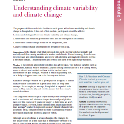
- 21. Understanding Climate Variability and Climate Change
- 22. Hazard Mapping of Sindhu Khola Watershed, Sindupalchowk, Nepal