Webinar titled "The Role of Civil Society Organizations in Ensuring Earthquake Safety during Complex Emergencies"
Webinar titled "The Role of Civil Society Organizations in Ensuring Earthquake Safety during Complex Emergencies"
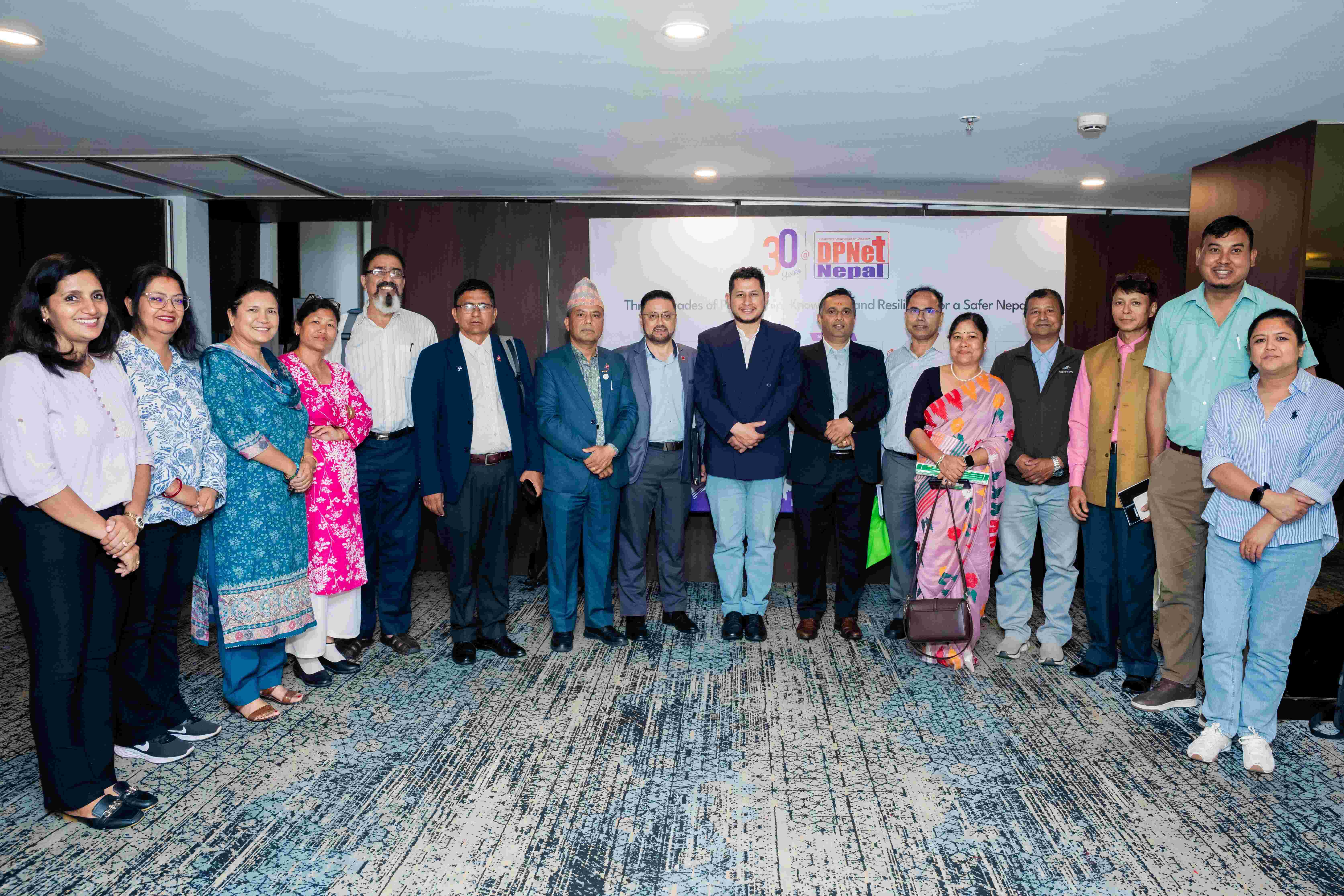
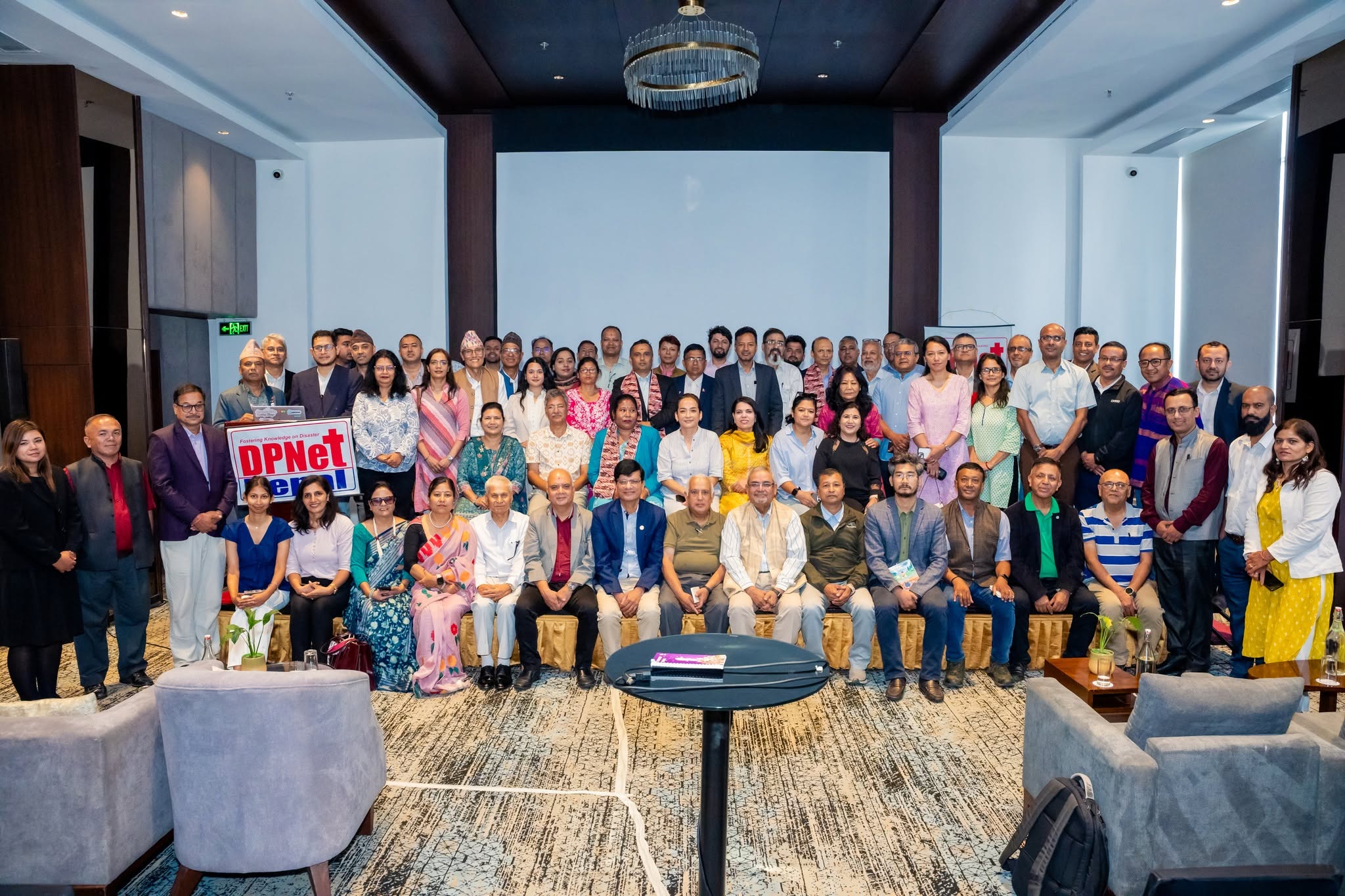
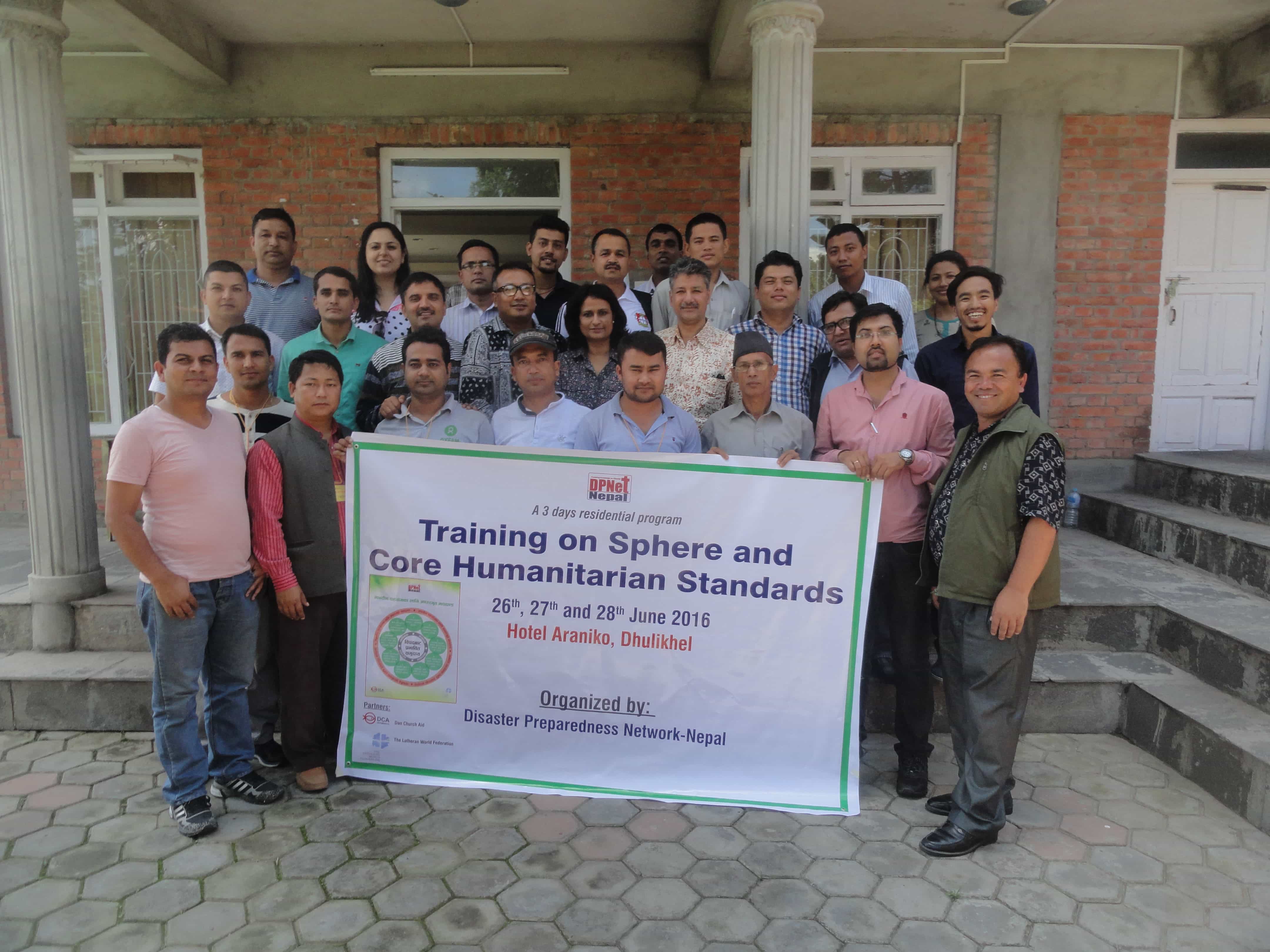
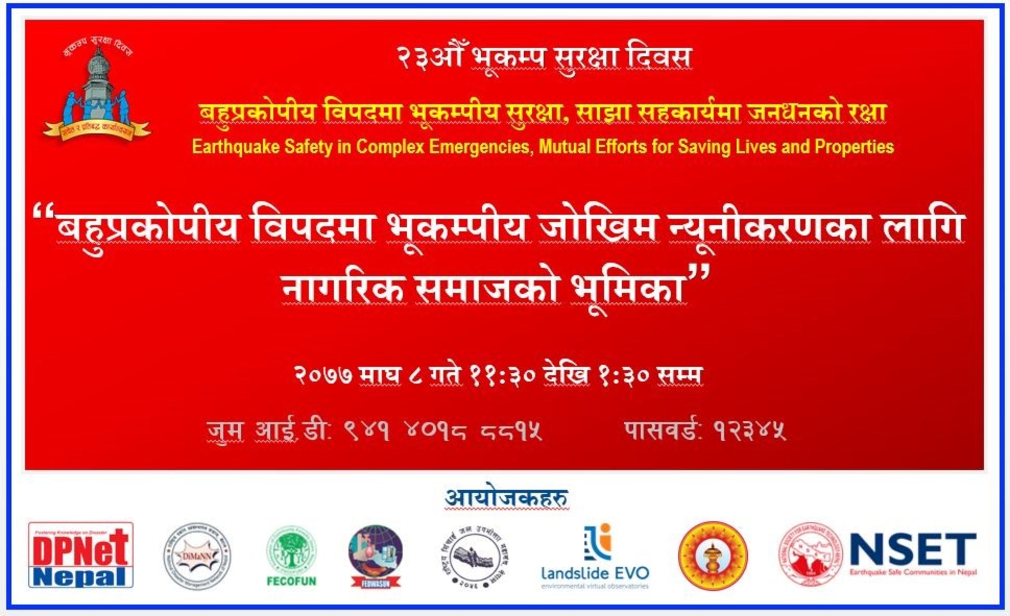
The joint organization of DPNet-Nepal, DiMaNN, FECOFUN, FEDWASUN, NFIWUAN, Practical Action Consulting, and NSET held a webinar on January 21, 2021, titled "The Role of Civil Society Organizations in Ensuring Earthquake Safety during Complex Emergencies." The program was part of the nationwide events organized throughout the country to commemorate the 23rd Earthquake Safety Day. Mr. Surya Bahadur Thapa, Chairperson of DPNet-Nepal, chaired the program and delivered the welcome remarks, highlighting the importance of discussing the role of civil society organizations in mitigating disaster risks in Nepal. The webinar was made possible by the Earthquake Safety Day Main Organizing Committee, and it saw the participation of 56 attendees.
Dr. Raju Thapa, General Secretary of DPNet-Nepal, delivered a presentation titled "The Role of Civil Society Organizations in Earthquake Risk Reduction within a Multi-Hazard Context." His presentation covered the general concept and development process of disaster risk reduction and management, both globally and in Nepal. He discussed major national and international initiatives, legal instruments, frameworks, treaties, as well as significant earthquake events worldwide and in Nepal. Dr. Thapa also highlighted the types and causes of disasters in Nepal, emphasizing topographical features, fragile geology, and public indifference as major contributing factors. Furthermore, his presentation included a comparative analysis of Nepal's disaster risk, the disaster management cycle, the importance of incorporating a disaster perspective into development projects, and the management of multi-hazard risks. He emphasized the role of civil society organizations in conducting research and vulnerability assessments to implement effective disaster risk reduction and management programs. Additionally, he briefly mentioned DPNet-Nepal's Online Resource Centre and the initiatives undertaken by CSOs in response to the Gorkha Earthquake.
Dr. Suchita Shrestha, Senior Divisional Geologist at the Department of Mines and Geology, delivered a presentation titled "Earthquake and Consequent Landslide Hazard after the Gorkha Earthquake." Her presentation focused on earthquake-induced landslides in Nepal, particularly the consequences following the 2015 earthquake. She discussed seismotectonic and seismicity aspects in the Nepal Himalaya, highlighting the formation of the Himalayas resulting from the collision between the Indian and Eurasian Plates. Dr. Shrestha mentioned that Nepal lies within an active continental collision zone. She presented a map depicting the spatial distribution of aftershocks from the Gorkha Earthquake, noting that the density was highest in the Eastern Zone. Additionally, she shared a three-dimensional view of the focal solution and cross-sections from south to north. Her research methodology involved data collection, seismic source zonation for developing a probabilistic seismic hazard map, and coseismic landslide susceptibility mapping. Dr. Shrestha presented the results of seismic source zonation using artificial neural networks, utilizing 1,225 event locations after declustering and completeness analysis. The presentation also included probabilistic seismic hazard assessment and earthquake-induced landslide hazards. She concluded by emphasizing the scientific nature of the research, suggesting its application in land-use planning, and highlighting the importance of sharing such information with decision-makers for policy formulation and land-use planning related to construction.
Prof. Dr. Megh Raj Dhital presented his research work titled "Investigation of Sukunda and Bajedi Landslides in the Karnali Region, Far Western Province." The presentation covered the geological setting, location, geology, geophysical surveys, engineering geological surveys, and landslide stability analysis of the Sukunda and Bajedi landslides. The research was conducted as part of the Landslide EVO Project, implemented by Practical Action Consulting, and involved an expert team. Dr. Dhital also discussed proposed monitoring sites for the landslides and provided conclusions for both cases. He highlighted water as a major factor in Nepal's landslides, emphasizing that water flow during road construction and unregulated irrigation contribute to these events. Dr. Dhital stressed the need to raise public awareness regarding water management and its impact on landslide risk. He suggested that agroforestry and horticulture can help mitigate landslides by altering water flow patterns, emphasizing the importance of considering water management in infrastructure development. He encouraged CSOs to play a role in raising awareness about water management to reduce landslide risks.
Major Discussion Points:
- What is the most effective PGA (Peak Ground Acceleration) for land-use planning and development activities in landslide-prone areas? Typically, a 10% probability density is used to develop building codes, and it has proven to be effective.
- How can we utilize the INSAR (Interferometric Synthetic Aperture Radar) method for analysis? This method is comparable to viewing a thin section under a microscope. An interferogram is created using radar images and can be employed for landslide analysis. However, it requires a reference point on the ground, and if there is significant displacement, its effectiveness may be compromised.
- The core concept of the Landslide EVO project is to adopt a citizen science approach, bringing together a wide range of stakeholders, including scientists, experts, communities, and government, to facilitate learning and knowledge sharing. OpenStreetMap is utilized to identify landslides and houses, and community members are trained to create such maps. The information gathered is translated into Nepali and shared with local-level representatives.
- Civil society organizations (CSOs) can play a crucial role in disseminating the findings of scientific research to the community. They can also contribute to raising awareness about measures to reduce landslide risks.
Mr. Surya Narayan Shrestha, Executive Director of NSET, expressed his gratitude towards the organizers and emphasized the importance of collaborative efforts in disaster risk reduction and management (DRR&M). While many organizations and individuals are involved in DRR&M initiatives, their focus tends to be limited to specific phases of the disaster management cycle. He stressed the need to translate research findings into simpler language that can be easily understood by the public and facilitate wider dissemination. He suggested that DPNet-Nepal could play a role in summarizing scientific knowledge and research for broader public sharing.
Mr. Surya Bahadur Thapa, Chairperson of DPNet-Nepal, expressed his gratitude to the joint organizers, resource persons, and participants for their valuable time and contributions. He concluded the program by underscoring the importance of collaborative efforts in working together for disaster risk reduction and management in Nepal.